The one upside to our Black Hills trip falling apart – though truthfully, calling any part of this trip an upside doesn’t feel right – was the unexpected drive past the highest point in Iowa on our way back to Colorado.
And when I say we drove past the highest point in Iowa, I mean that very literally. The high point is right next to the highway. All we had to do was make a left turn, drive approximately 30 seconds up a dirt road into the middle of a corn farm, and there it was.

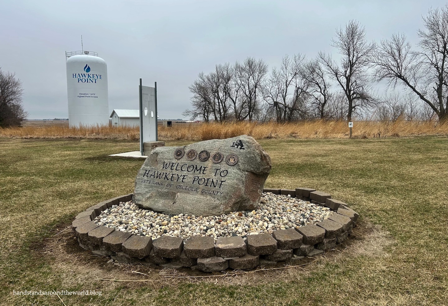
Like so many of the midwestern US high points, Hawkeye Point is neither high, nor a point. At an elevation of 1670 feet (510 m), this high point would be indistinguishable from the surrounding land if not for the mosaic marker that sits atop it.

Hawkeye Point is surrounded by cornfields and actually used to be part of the farm. However, a few years back the county purchased the land and built it up.
Today, in addition to the high point marker, there is an old barn with informational signs, an outdoor exhibit of farm equipment, a giant Adirondack chair, a silo, a wall of license plates from each of the 50 states, a collection of road signs denoting the distance to the other 49 high points, and keychains available for a small (cash-only) donation.


Unfortunately for us, it was also only 39°F (4°C), cloudy, and extremely windy on this particular morning. Having packed for a roadtrip in much warmer weather, we were not at all prepared for this and, as such, it was a fairly miserable visit. We quickly walked through the barn and exhibits, briefly climbed up the stairs to the silo viewing platform, took the requisite highpoint photos, and then ran back to the warmth of the car.


Not exactly the most enjoyable visit. Nonetheless, I am now one high point closer to my goal!

Up next: South Dakota roadtrip 2.0
Leave a Reply