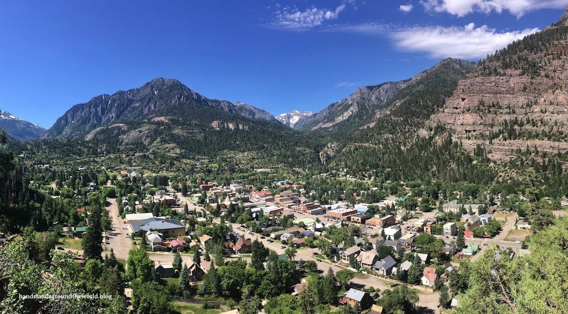
Last week, I wrote up a long and detailed post about the San Juan Skyway Scenic Byway, which passes through the scenic mountain town of Ouray (pronounced ‘you-ray’). We were only in town for a few hours so there’s a lot I still don’t know about the town.
But I do know that the Ouray Perimeter Trail is one of the most highly recommended hikes in the area, and after completing it I absolutely understand why.
AllTrails rates this hike as moderate, and I suppose that’s accurate. However, the difficulty is not evenly spread. The first 2 miles were by far the hardest as we climbed from the parking lot at the Ouray Visitor Info Center to the high point of the trail at 8500 feet. There’s a lot of up and down in this section as well as some steep exposures.
The remainder of the hike is much more gradual with only a couple short sections of uphill and one section with some exposure. For this reason – and because there are some steep downhills that I wouldn’t want to climb up – I highly recommend completing the hike in the clockwise direction. If you stop by the Info Center and grab a free trail map/pamphlet, it will instruct you to go clockwise as well.
From the Info Center on the northern end of town, cross the highway and begin the hike, following the Ouray Perimeter Trail signs. It’s an uphill climb right from the beginning as you make your way up the steep hillside and across some talus and a cliff face, providing some great views down into Ouray. After 0.7 miles (1.1 km) you arrive at the tall, tumbling Cascade Falls.


From here, the trail descends to the base, crosses the creek, and climbs up the other side. This is the most remote section of the hike, although you’re never more than 1 mile (1.6 km) from city limits. That being said, there are signs warning of black bears and we were suddenly feeling a little unprepared without our bear spray.
The trail passes through some forest and open space, traversing a short section of road before climbing up to the rocky high point.


From here, the trail drops quickly to the Million Dollar Highway (US 550), crosses it, and follows an old access road along the Uncompahgre River. The southernmost point of the trail is the bridge across the river; from here you climb over a large water pipe and head back north along the opposite bank of the river. We found this section of the trail to be fairly flat and easygoing but also very mosquitoey.


The trail then crosses another road and climbs to Box Cañon Falls. If you pay the $5 entry fee you can head down into the gorge. We didn’t feel like paying (or climbing down to the entrance and back up again) so we stayed on the trail, crossing the gorge on an extremely high metal bridge and walking through a short tunnel.


From here, there’s one final climb up and over into Oak Creek Canyon and a viewpoint, and then the trail descends into town. The final section back to your car follows Oak Street.

And we’ve now walked all the way around the town of Ouray!
The Important Stuff:
- Getting there: there are many access points to the trail, but the main one is across the street from the Ouray Hot Springs Park and Visitor Information Center.
- Fees and passes: parking at the Hot Springs is free!
- Hiking: the entire Perimeter Trail is 5.8 miles (9.3 km) with 1600 feet of elevation gain.
- Where to stay: we were camped about an hour from Ouray, but there are many camping/lodging options closer to town.
- Other: there are multiple “escape trails” that break off from the Perimeter Trail and lead back into town… a good option if you don’t feel like hiking the entire thing or decide to cut your hike short for any reason.
Leave a Reply