If you know me – or you’ve been following this blog for a while – you know I’m a planner. Some might say I’m an overplanner. I usually have a lengthy and well-researched list of things to do at each destination.
Such was not the case for these first couple days of our road trip. We had a full day to spend in Great Falls and only a couple things on our to-do list. We realized quite quickly that we were going to have a bunch of extra time… so we looked at our map, found Fort Benton National Historic Landmark about 30 mins northeast, and decided to go check it out.
We had no idea what to expect and were pleasantly surprised!

Fort Benton is located at the western edge of the Missouri River Breaks, named for the badlands-type terrain and the appearance that the ground simply breaks away to the river. In 2001, a 149 mile (240 km) section of river and the surrounding land was designated Upper Missouri River Breaks National Monument and placed under the control of the BLM. While most of this enormous monument (377,000 acres) is primitive and accessible only by boat, there is an interpretive center in Fort Benton. This was our first stop.

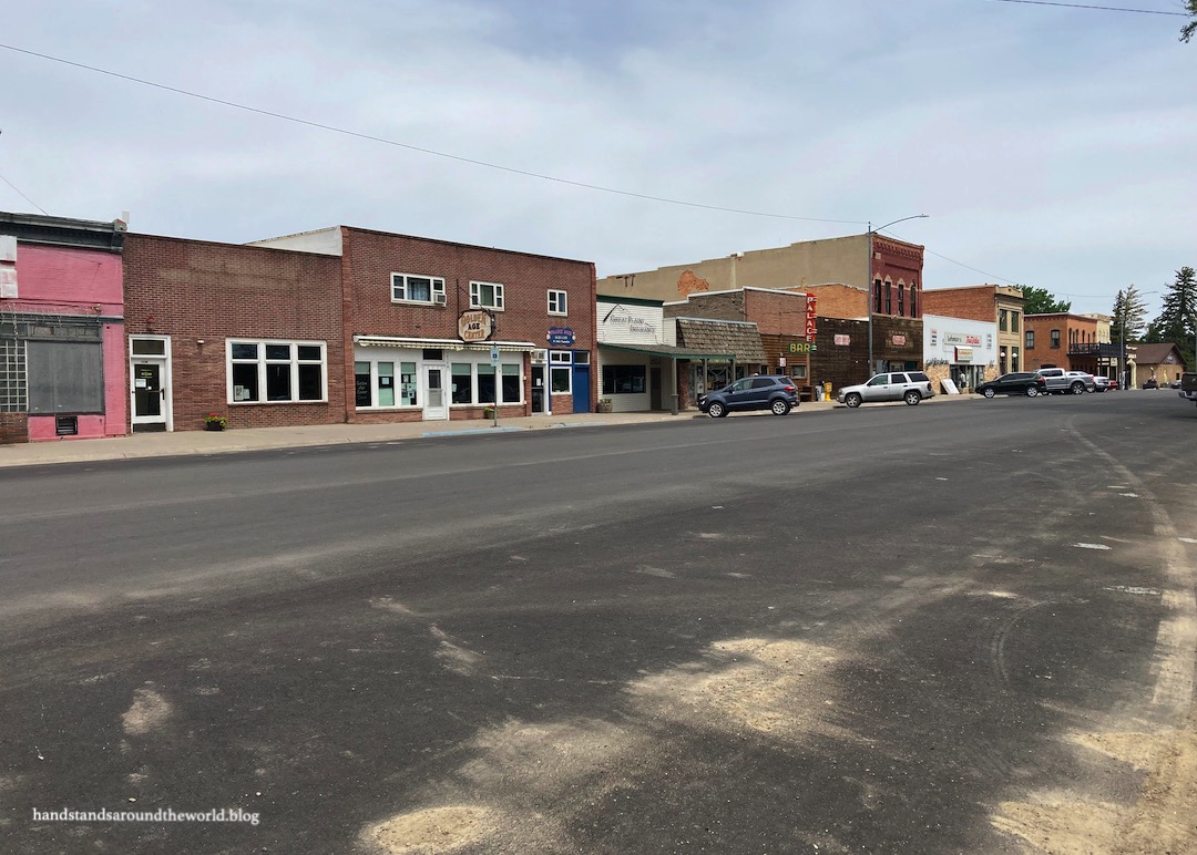
From here, a 0.75 mile (1.2 km) trail meanders along the riverfront through the town of Fort Benton. There are informational signs all along the way discussing history of the region. This includes the passage of the Lewis & Clark expedition, the many Native American tribes (Assiniboine, Crow, Blackfeet, and Gros Ventre) who originally inhabited this land, and the founding of Fort Benton by white settlers.
Fort Benton was established in 1846 and is the oldest continuously inhabited white settlement in Montana. It was originally a trading post for fur trappers but morphed into a major transportation hub with the arrival of steamboats up the Missouri River. For nearly 30 years, 75% of all goods being shipped to the northwest came through Fort Benton. Although steamboats were unable to proceed any further upriver due to the terrain, cargo was transferred to wagons and stagecoaches here and transported as far as Idaho, Washington, and Canada.
Prospectors traveling west for the gold rush also came through Fort Benton and continued west on the Mullan Road, a 500 mile (805 km) path to Washington and the first federal highway in the region. Departing from Fort Benton and heading north was the Whoop-Up Trail to Alberta, a trading route for bison furs and whiskey (the whiskey part was illegal but persisted for many years before police put an end to it).
The Nez Perce, under the lead of Chief Joseph, also fled through this area in 1877 during the Nez Perce War. By the 1850s, the US government had already stolen some of their native homeland and forced them onto a reservation. Ten years later, the government sought to drastically decrease the size of this reservation, laying claim to about 90% of the land.
While some of the Nez Perce agreed to the terms of this new agreement, others did not and attempted to flee to Canada to seek asylum. They were pursued by the US army and ultimately cornered not far from the Canadian border, at which time they surrendered under the impression that they would be able to return to their reservation in Idaho. Unsurprisingly, the US government did not uphold their end of this agreement.
The rifle Chief Joseph offered in surrender is on display in Fort Benton, along with his famous speech. Some of you may have heard it before; I know I learned it in school.


At the east end of town is Old Fort Benton… the original trading post. After trading declined it was sold to the military, which ultimately abandoned it due to a rat infestation (I can only imagine how horrifying that must have been). It fell into disrepair for 30 years until money was finally appropriated to repair it.
Only one small part of what is there today is the original structure; it’s actually the oldest original building in Montana. It’s called the Blockhouse and is made of logs and adobe.

The rest of the fort has been rebuilt and you can tour it and the adjacent museum. By this point in the day we had done a lot of reading and our brains were incapable of soaking in any more information, so we didn’t spend all that much time here. But it was neat to see some of the old artifacts and walk around the fort.


Fully armed with all this newly-acquired knowledge of the history of the region, we then made our way back along the river to the car and headed back to Great Falls for the night.
The Important Stuff:
- Getting there: Fort Benton is located in north-central Montana on US Highway 87.
- Fees and passes: one combined $5/person admission fee will get you into both the Missouri River Breaks Interpretive Center and Historic Old Fort Benton (and I believe a couple other things in town); America the Beautiful passes are accepted at both locations.
- Hiking: a flat, paved trail travels about 0.75 miles (1.2 km) along the waterfront in town from the interpretive center to the fort.
- Where to stay: there are a couple hotels in Fort Benton and a handful of campgrounds in the area; you could also stay in Great Falls and do this as a day trip.
- Other: If you’re planning to explore the town, come prepared with good walking shoes and be ready to read lots of signs. If you’re looking to explore Missouri River Breaks, you’ll need a boat and the know-how to navigate the canyons (more info here).
Leave a Reply to ourcrossingsCancel reply