When my mom and I met up in Montana this summer, it was to spend a week exploring one of my favorite states, visiting a few well-known attractions and a handful of lesser-known ones in the western half of the state.

Our first stop was the town of White Sulphur Springs to visit the Castle Museum and Carriage House. It’s $7/person and the museum has a surprisingly large assortment of items… everything from old pianos to medical tools, typewriters to military uniforms, buggies to antique safes and other banking artifacts. It’s quite a collection for such a random tiny museum.
After looking through the museum, we received a guided tour of the castle. The original architect and occupant was a man named Byron R. Sherman, who built the house for his family. Sherman was very prominent in the community, a businessman with investments in cattle, mining, banking, and many other industries… and therefore quite a lot of money to build such an ornate house. It even had electricity and two indoor bathrooms with running hot and cold water… extremely unusual for the late 1800s.
No photos are allowed inside, but I do have this external photo.

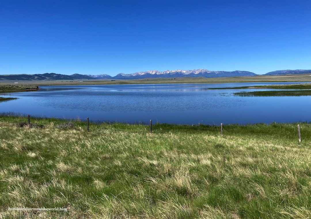
From here we continued north, traveling along Kings Hill Scenic Byway. This is a drive we’d done before so we didn’t make any stops along the way this time. At the north end of the byway is Sluice Boxes State Park. We’d stopped here before too, briefly; this time we decided to actually explore it.


It’s a primitive park that’s really only equipped for hiking and fishing. There’s a trail that runs about 7 miles (11 km) along Belt Creek from one end of the park to the other. Our plan was to hike the first 2-3 miles (3-5 km) of it.
We didn’t quite make it that far.
Just shy of 1 mile (1.6 km) in, the trail crossed the creek… sans bridge. It’s a sizable creek and the water was knee deep in places, but we were able to safely navigate it (definitely wear shoes you don’t mind getting wet).


A short distance later was creek crossing #2. This one wasn’t passable. It was too deep and flowing too fast for us to safely make it across, so we were forced to turn around. But even though our hike was cut short, we enjoyed our scenic jaunt along the water.


We ended our day in Great Falls at Dick’s RV Park. It was a pretty location along the Sun River, not far from its confluence with the Missouri River. The campground itself, however, was not great. The tent area was clearly an afterthought, a field way at the back with a bunch of randomly placed picnic tables, no privacy between sites, and a very long walk to the bathrooms.
Also, the owners were obsessed with enforcing the speed limit… to the point that they scolded us when we were in fact not exceeding the limit. I wouldn’t stay there again.

We spent part of the next day in the Great Falls area, visiting some local attractions. First up was Benton Lake National Wildlife Refuge (NWR), about 25 mins north of the city. We arrived to find the visitor center closed, no lake, and no wildlife. We were beginning to think it had been a wasted trip when the lake finally came into view… and it was absolutely teeming with bird life. This place must be a birdwatcher’s paradise!
Benton Lake is one of many prairie potholes that span central North America. These potholes were formed by glaciers during the last ice age and are now filled with water and provide important habitats for many plants, insects, and birds. There are over 200 bird species at Benton Lake, some of which nest there and some of which pass through on their annual migration.
Neither of us are bird experts but we were able to identify a few of them, including some species we’d never seen before: black-necked stilts, American coots, black-capped night herons, curlews, and an avocet. We also saw dozens of gulls, ducks, grebes, and yellow-headed blackbirds. Unfortunately, I wasn’t able to get any good bird photos with my iPhone.


Just east of Great Falls is the Lewis & Clark Portage Site. In June 1805, the Lewis & Clark expedition — otherwise known as the Corps of Discovery — reached present-day Great Falls… which is named for the series of five waterfalls on the Missouri River. Collectively, they drop 360 feet (110 m).
The expedition therefore had to portage their boats and all their supplies 18 miles (29 km) around the falls. Obviously that’s a tall order, especially when one of the boats was a 55 foot (17 m) wooden canoe loaded with supplies. Also, the terrain isn’t exactly a walk in the park… there are hills and rocks and cacti, among other challenges. It took the men 5 trips over 2 weeks to get all their supplies around the waterfalls.


Just downriver is Giant Springs State Park, which preserves a natural freshwater spring that emerges from the rocks adjacent to the Missouri River. The water seeps through the ground from a nearby mountain range, a journey that takes 50 years, before bubbling up here. 150 million gallons (568 million liters) per day emerge from the rocks, forming the 201 foot (61 m) long Roe River – one of the shortest rivers in the world – before joining the Missouri.


Up the road from the spring are overlooks of some of the waterfalls mentioned above. There are now three dams on the river, so the flow rate has changed drastically and one of the waterfalls is fully submerged. But the other four are still somewhat similar to what Lewis & Clark encountered more than 200 years ago, and we could certainly see how substantial an obstacle they were to the expedition.


And that’s where I’ll leave off for now. More to come in the next few posts. Stay tuned!
Leave a Reply to AlisonCancel reply